10.2133 N / 84.2999 W 1400 m Alajuela, Costa Rica
Everything here goes downward.
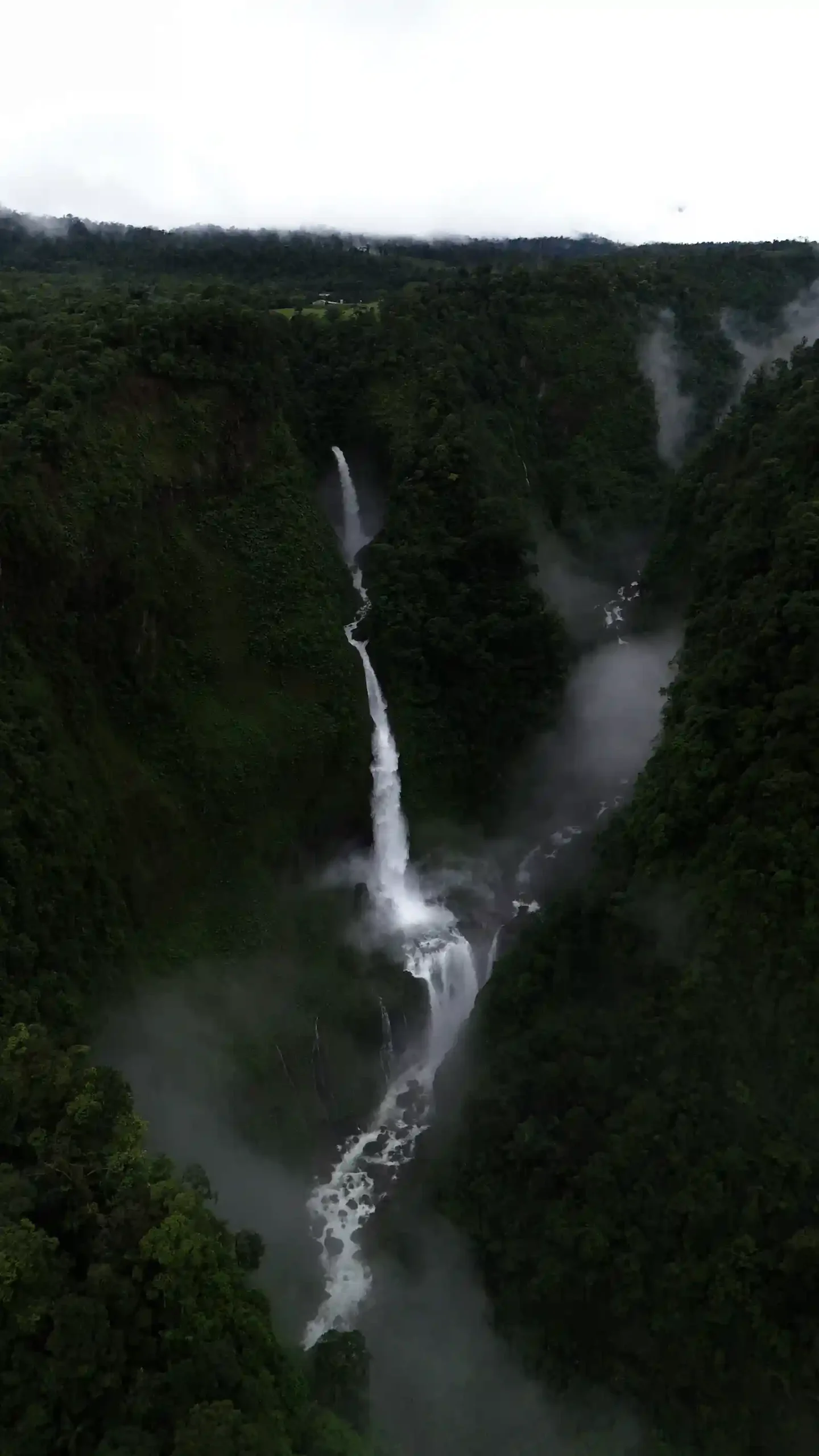
Bajos del Toro is a valley of vertical water. Keneth Ugalde opened most of the routes into it himself, and has guided them for eight years. Waterfall hikes, canyon descents and gentle family trails — measured, marked and led by the person who mapped them.
- Rating
- 4.9
- Reviews
- 100+
- Routes
- 14
- Years
- 8+
Where exactly is Bajos del Toro?
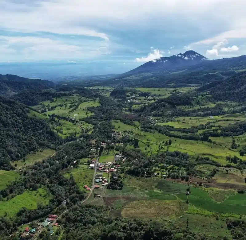
Bajos del Toro is a cloud-forest valley in the canton of Valverde Vega, province of Alajuela, Costa Rica — roughly 1,400 metres above sea level between Poas Volcano and Juan Castro Blanco National Park. It is known nationally as the waterfall capital of Costa Rica, with dozens of falls, volcanic canyons and turquoise river pools within a short drive of the village.
Ecotours Toro Amarillo 360 is based in the village itself, 150 metres south of the Catholic church. Every trail we guide is inside this valley or in the neighbouring San Carlos canyons, which means short transfers, real local knowledge and access to routes most operators never reach.
- Destination
- Bajos del Toro, Costa Rica
- Canton / Province
- Valverde Vega, Alajuela
- Elevation
- Approx. 1,400 m / 4,600 ft
- Main activities
- Waterfall hiking, canyoning, family nature tours
- Operator
- Ecotours Toro Amarillo 360
- Lead guide
- Keneth Ugalde, rescue & first-aid certified
- Languages
- Spanish, English, German, French
- Booking
- WhatsApp, email or Viator
Three ways down
Ordered by how far you drop. The family trails stay near the rim. The hikes take you to the river. The canyons take you down the waterfall itself, on a rope.
01
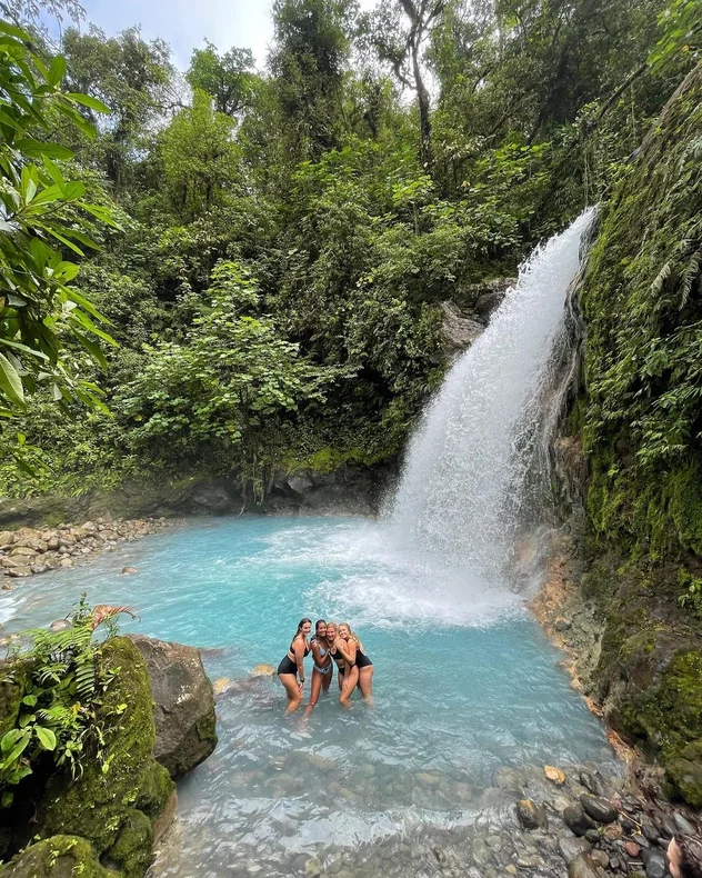
Family nature tours
Short, gentle routes to swimming pools, hidden falls and lookouts. Parking, bathrooms and a restaurant at most trailheads — built for kids and mixed-ability groups.
$10from / person
02
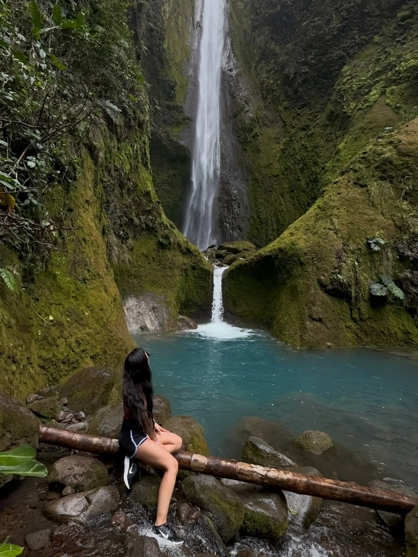
Waterfall hiking
Full-day and half-day hikes through volcanic canyons, river crossings and cloud forest. Jurassic Canyon, Emerald Canyon, Blue Falls and the Canyon Waterfall loop.
$45from / person
03
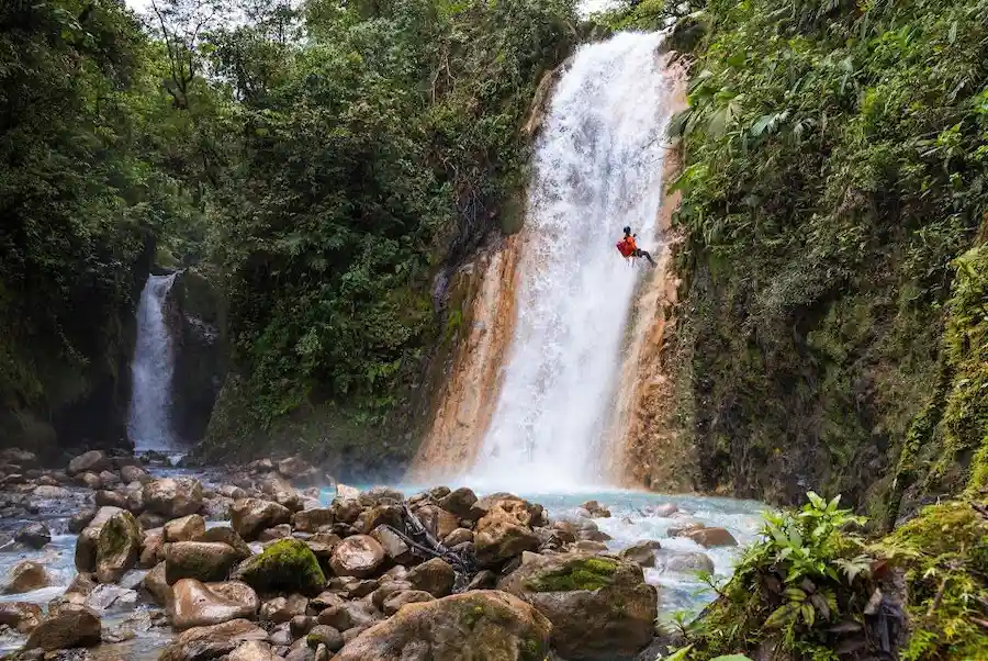
Canyoning & rappelling
Descend Gata Media Canyon or La Vieja Canyon with ICAN-certified guides. Wetsuit, full gear, photos and video included — no previous experience needed.
$180from / person
Quebrada Gata & Jurassic Canyon
Route 02-A / Quebrada Gata
Medium-high
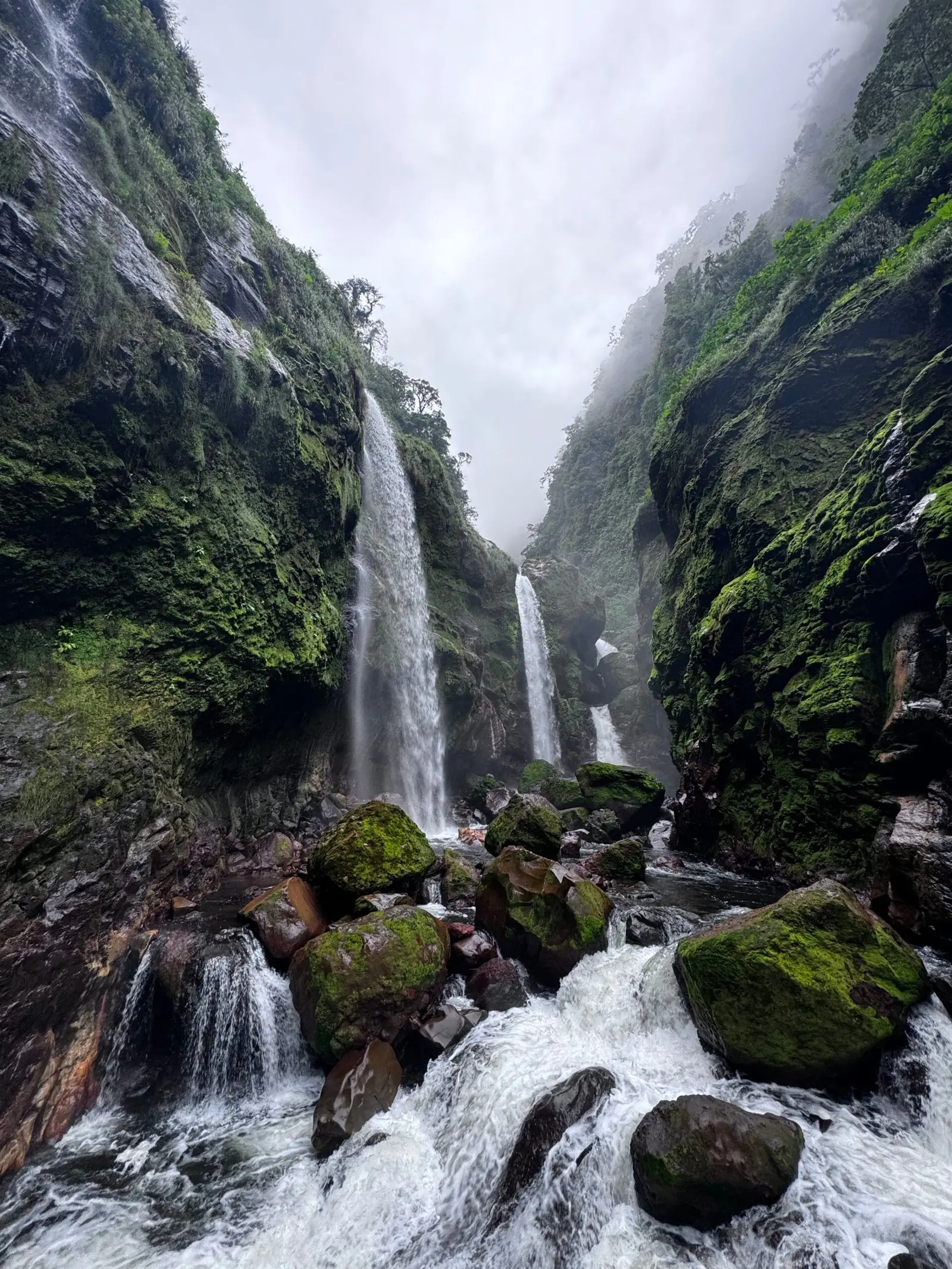
The most dramatic canyon hike in the valley
A demanding 6.8-mile route through a volcanic canyon whose sheer walls, palm forest and river crossings look straight out of a prehistoric film set. Expect steep descents, mud, cold river water and views you will not find on any standard Costa Rica itinerary.
- Distance
- 6.8 mi
- Duration
- 6 hours
- Difficulty
- Medium-high
- Price
- $60
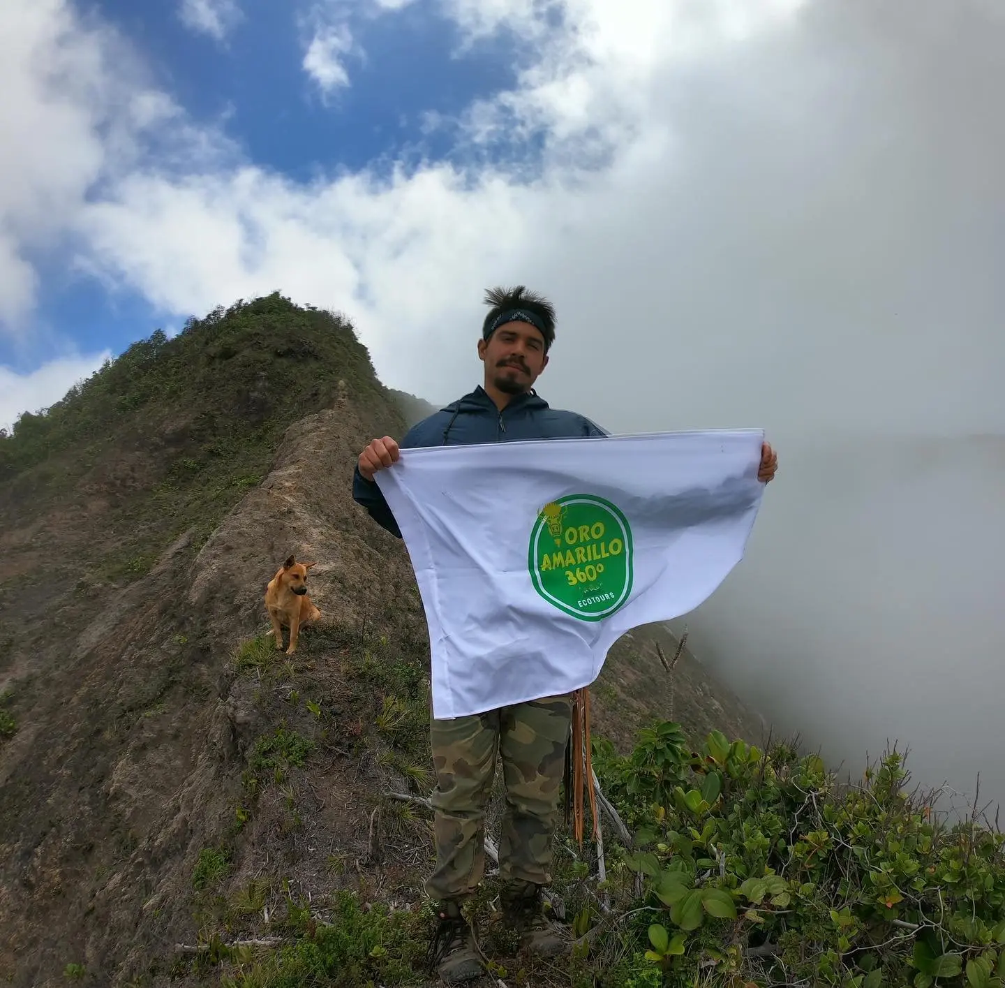
Keneth Ugalde, local guide and trail opener
Keneth grew up in Bajos del Toro and has spent more than eight years exploring, opening and mapping the canyons and waterfall routes around the valley. Several of the trails we run today did not exist as guided routes before he cleared them.
- 01Certified in wilderness first aid and technical rescue
- 02ICAN-certified canyoning instruction and equipment protocols
- 03Native to Bajos del Toro, with first-hand knowledge of every route
- 04Focused on conservation, small groups and low-impact tourism
How far is Bajos del Toro?
Bajos del Toro sits between the Central Valley and the northern lowlands, which makes it an easy day trip from San Jose, Alajuela or La Fortuna. Driving times are approximate and depend on road and weather conditions.
From San Jose
Approx. 85 km via Sarchi
2h 15m
From Alajuela / SJO airport
Approx. 60 km via Grecia
1h 45m
From La Fortuna
Approx. 90 km via Ciudad Quesada
2h 00m
From Sarchi
Approx. 30 km, mountain road
45m
Rated 4.9 out of 5
Every review is pulled live from Google and TripAdvisor. More than 100 verified reviews, none written by us and none edited.
Google reviews4.9 / 100+
TripAdvisorLive
Frequently asked questions
Canyon floor / 780 m
Ready to see the waterfalls?
Tell us your dates and group size and we will recommend the right route — from a ten-minute pool walk to a full canyon descent.